// ABOUT GEOAERO
Precise. Accurate. Safe. On Time.
GeoAero was founded on a simple principle: better data leads to better decisions. GeoAero brings a unique depth of expertise to UAS operations built on decades of experience in professional aviation, geology, aerial mapping & land surveying including airborne LiDAR acquisition and GPS control networks. We combine that background with advanced drone technology and modern mapping workflows to deliver accurate, actionable geospatial intelligence for land development, construction, environmental, engineering, and surveying professionals. From the air to the ground, GeoAero delivers data you can build decisions on.

// OUR FLEET
Professional-Grade Equipment
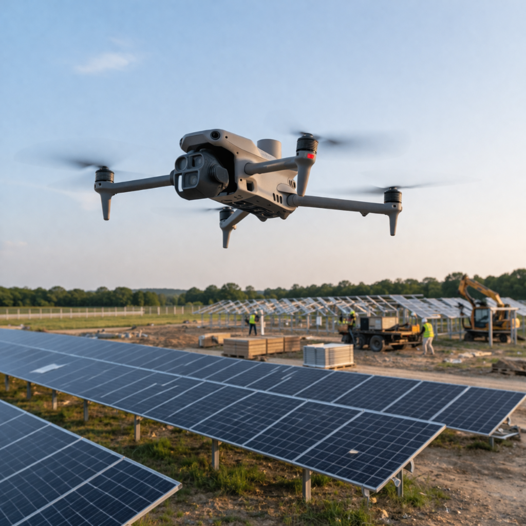
Enterprise Drone Platform
Matrice 4 Series
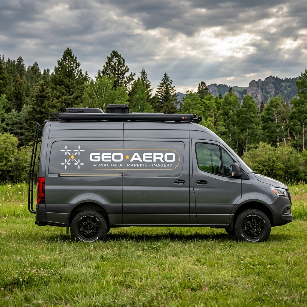
Mobile Operations Center
Starlink equipped AWD mobile van for missions execution and on-site processing.
// OUR MISSION
"To provide the most accurate, reliable, and accessible aerial geomatics data — enabling safer construction sites, smarter infrastructure decisions, and better-managed land."
// CORE VALUES
What Drives Our Operations
Precision
Every data point matters. Our workflows are built for centimeter-level accuracy, ensuring your decisions are grounded in reliable spatial truth.
Safety
FAA Part 107 certified UAS & Part 61 certified manned aircraft pilot knowledgable in comprehensive risk assessments. Every flight follows strict safety protocols — zero compromises.
Quality
From capture to deliverable, rigorous QA processes ensure every map, model, and report meets the highest industry standards.
Partnership
We integrate with your team's workflow, not the other way around. Transparent communication and deliverables that fit your pipeline.
Ready to Deploy?
Schedule your aerial geomatics mission today and get precision data delivered fast.
BOOK YOUR MISSION